You might not realize that Thailand is a central hub in Southeast Asia, strategically positioned among several countries. Nestled between Myanmar, Laos, Cambodia, and Malaysia, its geographical location plays a significant role in its rich history and cultural diversity. But beyond its borders and coordinates, there's much more to discover about this vibrant nation. From its stunning landscapes to essential travel tips, understanding where Thailand fits into the larger picture reveals fascinating insights you won't want to miss.
Key Takeaways
- Thailand is located in Southeast Asia, bordered by Myanmar, Laos, Cambodia, and Malaysia, with the Andaman Sea and Gulf of Thailand nearby.
- Its geographical coordinates are between latitudes 6° and 20° N, and longitudes 97° and 105° E, showcasing diverse landscapes.
- Bangkok, the capital city, features a blend of culture, history, and modernity, making it a significant urban center.
- Thailand is known for its rich heritage, including over 700 years of history and vibrant festivals like Songkran.
- The country is home to more than 1,400 islands, offering stunning beaches and diverse tourist attractions for travelers.
Geographical Location of Thailand
Nestled in the heart of Southeast Asia, Thailand captivates with its stunning landscapes and vibrant culture. The country's geography is as diverse as its people, featuring everything from lush jungles and rolling hills to serene beaches and bustling cities.
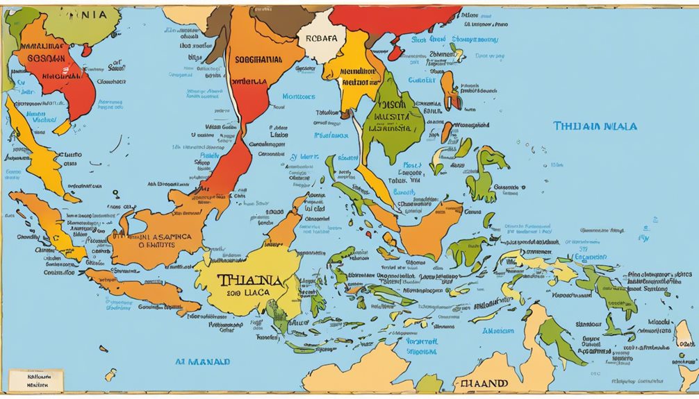
When you look at Thailand's coordinates, you'll find it situated between latitudes 6° and 20° N and longitudes 97° and 105° E. This prime location allows you to experience a unique blend of tropical climate and rich biodiversity.
Bordering Myanmar to the west and north, Laos to the north and northeast, Cambodia to the southeast, and Malaysia to the south, Thailand serves as a gateway to explore the rest of the region. The Andaman Sea lies to the southwest, while the Gulf of Thailand hugs the eastern coast.
As you traverse this beautiful nation, you'll encounter stunning national parks, picturesque islands, and vibrant urban centers, each offering a glimpse into Thailand's geographical wonders.
Whether you're hiking in the north or lounging on a beach in the south, you'll appreciate how Thailand's geography enhances its allure, making it a must-visit destination for any traveler.
Thailand on the World Map
When you look at a world map, Thailand stands out as a vibrant jewel in Southeast Asia, easily identifiable by its unique shape and strategic location. Nestled between Myanmar to the northwest and Laos to the northeast, this intriguing country boasts a diverse landscape that includes lush mountains, fertile plains, and stunning coastlines.
The geography of Thailand plays a significant role in shaping its rich culture, which is reflected in everything from traditional festivals to culinary delights.
As you explore the map, you'll notice Thailand's central position within the region, making it a hub for trade and tourism. This accessibility has allowed for a fascinating blend of influences, from ancient kingdoms to modern globalization.
The country's prominent cities, like Bangkok, serve as melting pots of Thailand culture, offering a vibrant tapestry of history, art, and cuisine.
Whether you're tracing the winding rivers or spotting the southern islands, you'll appreciate how Thailand's geography complements its cultural heritage. Each corner of this enchanting land tells a story, inviting you to investigate deeper into its wonders and experience the intriguing essence of Thailand.
Surrounding Countries and Borders

Thailand shares its borders with four countries, each contributing to the rich tapestry of its cultural and geographical landscape.
To the north, you'll find Myanmar, a nation that shares not only a border but also deep historical ties and border relations that have evolved over the years.
Venture northeast, and you'll encounter Laos, offering a unique blend of cultures and traditions that resonate with Thai life.
Heading south, you'll meet Malaysia, where the vibrant influences of Malay culture intermingle with Thai customs. This dynamic relationship enhances the tourism and trade between the two nations.
Finally, to the southeast lies Cambodia, a country known for its ancient temples and shared history. The border relations here have seen ups and downs, but they continue to play a significant role in both countries' interactions.
As you explore these neighboring nations, you'll notice how their proximity enriches Thailand's own identity, from culinary delights to shared festivals.
Understanding these borders helps you appreciate the intricate connections that shape this beautiful region of Southeast Asia.
Key Facts About Thailand
Known for its vibrant culture and stunning landscapes, Thailand boasts a wealth of fascinating facts that highlight its unique character. One of the first things you'll notice is the country's rich history, with over 700 years of recorded history that has shaped its dynamic identity.
The capital city, Bangkok, is a bustling metropolis and holds the title for the longest city name in the world—Krung Thep Maha Nakhon.
When it comes to Thai culture, you can't overlook the deep-rooted traditions and celebrations that fill the calendar. Festivals like Songkran, the Thai New Year, bring locals and visitors together for water fights and cultural displays.
Thai cuisine is another essential aspect of the country's allure. With its bold flavors and aromatic spices, dishes such as Pad Thai and Tom Yum soup are beloved worldwide.
Street food stalls serve up these delicious bites, allowing you to experience the authentic local cuisine firsthand.
Lastly, Thailand is home to over 1,400 islands, each offering its own slice of paradise, making it a dream destination for beach lovers and adventurers alike.
Travel Tips for Visiting Thailand

Visiting Thailand can be an exhilarating experience, but a few travel tips can enhance your journey. Immerse yourself in the vibrant local culture while respecting the customs and traditions that shape this beautiful nation. Understanding cultural etiquette, like how to greet with a slight bow and a "wai," can go a long way in making connections.
Don't miss out on the local cuisine; each region boasts unique flavors and dishes. Be adventurous—try street food, but make sure it looks freshly prepared.
Here's a quick guide to help you navigate your trip:
| Tip | Details |
|---|---|
| Dress Appropriately | Wear modest clothing, especially at temples. |
| Use Your Right Hand | When giving or receiving items, use your right hand. |
| Stay Hydrated | Drink plenty of water, especially in hot weather. |
| Learn Basic Phrases | Pick up a few Thai words; locals appreciate the effort. |
| Bargain Respectfully | Haggling is common in markets; do it with a smile. |
Following these tips will not only enrich your travels but also help you forge meaningful connections in Thailand. Enjoy your adventure!
Frequently Asked Questions
What Is Thailand's Time Zone Compared to UTC?
Thailand's time zone is UTC+7. As you explore Thailand's geography and immerse yourself in its vibrant culture, remember that its time aligns with neighboring countries, creating a unique rhythm to your travels and experiences.
What Languages Are Predominantly Spoken in Thailand?
In Thailand, you'll hear Thai as the primary language, but there's a rich tapestry of Thai dialects reflecting the country's language diversity. Each region offers unique linguistic flavors enriching your experience as you explore Thai culture.
What Currency Is Used in Thailand?
Imagine a treasure chest overflowing with vibrant Thai baht! In Thailand, the Thai currency is the baht, and you'll want to check currency exchange rates to get the best deals while exploring this stunning country.
What Are Thailand's Major Natural Resources?
Thailand boasts rich agricultural products like rice and rubber, essential for its economy. You'll also find valuable mineral resources, including tin and gemstones, which contribute greatly to the country's wealth and industrial growth.
What Is the Climate Like in Thailand Throughout the Year?
Tropical Thailand's temperature teems with seasonal variations. You'll experience sweltering summers, soothing monsoons, and mild winters. Weather patterns play a pivotal role in your adventures, shaping vibrant landscapes and lively local festivities year-round.
Conclusion
In summary, Thailand's a vibrant jewel in Southeast Asia, nestled between stunning landscapes and rich culture. Whether you're wandering through bustling Bangkok or relaxing on pristine beaches, this country offers unforgettable experiences. With its friendly locals and delicious cuisine, you'll find yourself enchanted at every turn. So, pack your bags and immerse yourself in the heart of Thailand—where adventure awaits and every moment feels like a celebration of life. Get ready for a journey that'll leave you breathless!